The Earth is in a state of flux, with ecosystems shifting under the weight of deforestation, pollution, and climate upheavals. To decipher these rapid transformations, scientists and environmentalists turn to updated satellite imagery—an unparalleled window into planetary health. From the crisp details of commercial data from space to the broad accessibility of open-source satellite shots, these high-tech observers capture Earth’s evolving story in near real-time. With the best satellite image browser downloads, experts can comb through vast archives of images of Earth, tracing environmental decline with precision. As satellite monitoring systems refine their capabilities, they become indispensable sentinels, illuminating hidden crises and guiding global conservation efforts.
Detecting Deforestation and Land Degradation
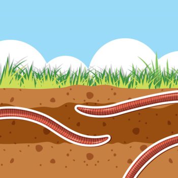
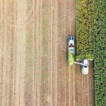
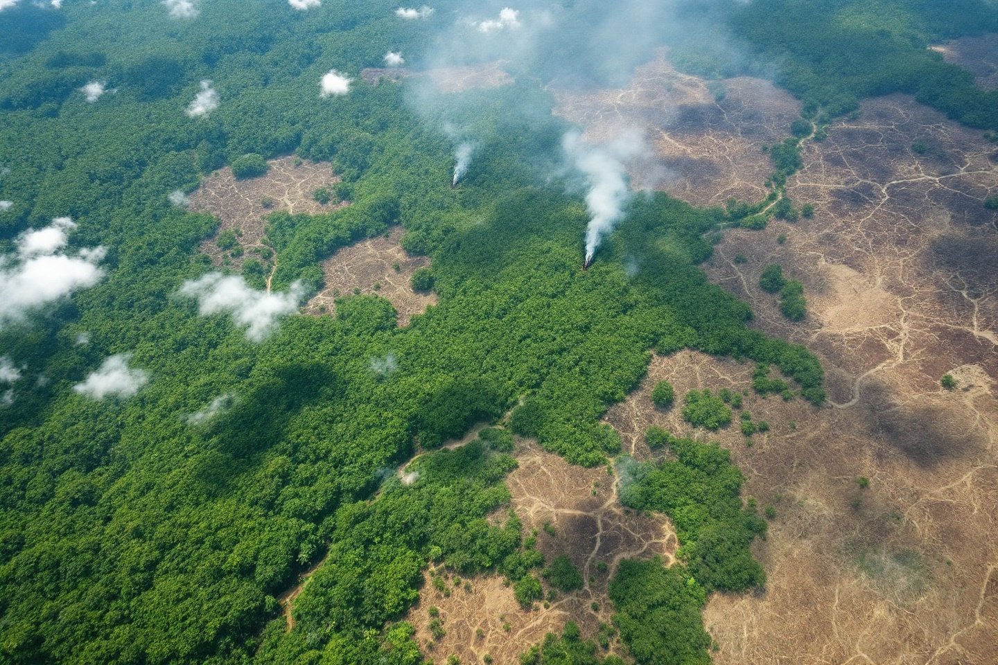
Forests are the lungs of our planet, yet they are vanishing at an alarming rate due to deforestation and land degradation. To combat this crisis, scientists and environmental organizations rely on updated satellite images, which provide an unparalleled view of Earth’s shifting landscapes. High-resolution photos of Earth expose even the most subtle disruptions in vegetation, enabling authorities to detect illegal logging before vast tracts of forest disappear. Satellite image monitoring goes beyond simple observation—it allows for real-time tracking of land use changes, offering policymakers the insights needed to enforce conservation strategies effectively.
The significance of satellite monitoring in forest conservation cannot be overstated. With global coverage, satellites can scan even the most remote and inaccessible forests, identifying patterns of destruction that might otherwise go unnoticed. Their high-resolution capabilities reveal detailed changes in tree cover, helping pinpoint illegal logging activities. By leveraging real-time monitoring, environmental agencies can react swiftly to deforestation events, preventing further damage. Additionally, historical satellite imagery archives allow scientists to analyze long-term deforestation trends and model future risks.
A prime example of this technology in action is EOS Data Analytics’ work in Madagascar’s Andranopasy baobab forests. Using open data satellite imagery, researchers assess reforestation efforts, even when seedlings are too young to be observed with the naked eye. AI-driven satellite monitoring systems, like EOSDA Crop Monitoring, go even further—deciphering vegetation indices and providing deeper insights into forest health. As these technologies advance, they evolve from passive observation tools into predictive models, empowering conservationists to preempt environmental destruction before it takes root.
Supporting Disaster Response and Recovery
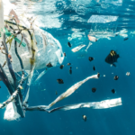
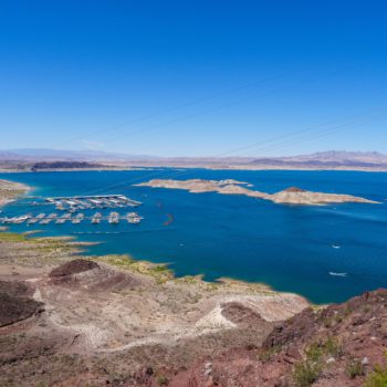
Natural disasters strike with little warning, leaving destruction in their wake. In an era where rapid response is crucial, updated satellite imagery has become an essential tool for disaster management, offering real-time insights into unfolding catastrophes. From raging wildfires to devastating floods, monitoring systems provide critical data that aids emergency responders in mapping affected areas and deploying resources efficiently. The ability to buy satellite images or access open-source satellite imagery allows governments and humanitarian organizations to track disasters as they evolve, improving their preparedness and mitigation strategies.
One of the most powerful applications of satellite technology is real-time disaster tracking. The best satellite images capture the spread of wildfires, revealing wind-driven movement patterns that help firefighters contain the blaze. During floods, satellites generate high-resolution imagery that maps water levels, assisting authorities in directing evacuations and relief efforts. Predictive modeling is another game-changer—by analyzing Earth satellite images over time, experts can forecast heat waves, droughts, and other environmental threats before they escalate into crises.
A striking example of satellite-based disaster monitoring is the 2023 destruction of Ukraine’s Kakhovka Dam, which led to one of the most severe environmental disasters in the country’s history. The loss of the reservoir devastated ecosystems and displaced communities, but satellite image monitoring has since revealed an astonishing transformation—one year later, willow forests have reclaimed a third of the former reservoir, and native wildlife is returning to the region. Using advanced satellite image browser tools, scientists have studied the shifting hydrology and ecosystem dynamics, providing crucial insights into how nature responds to catastrophe.

Beyond immediate disaster response, satellite monitoring plays a crucial role in assessing long-term environmental degradation. Whether tracking glacier melt, rising sea levels, or greenhouse gas emissions, satellite data helps scientists understand the broader implications of disasters. As the best satellite image browser tools continue to evolve, they are reshaping disaster management, enabling smarter decision-making and more effective strategies to protect both human lives and ecosystems.
Monitoring Climate Change and Biodiversity
The relentless expansion of mining operations threatens fragile ecosystems, but advanced satellite technology offers a powerful means to safeguard biodiversity. By capturing vast swaths of land from space, satellites provide a holistic perspective on how industrial activities alter natural habitats. Large-scale ecosystem monitoring allows conservationists to assess deforestation, habitat fragmentation, and shifts in vegetation, all of which are critical in biodiversity conservation efforts.
Through continuous satellite image monitoring, scientists can detect subtle ecological changes that might otherwise go unnoticed. This real-time data empowers policymakers to implement timely interventions, ensuring that conservation strategies are based on accurate, up-to-date insights. Satellite imagery not only tracks biodiversity loss but also helps identify areas that require urgent protection. By integrating satellite analytics with sustainable land management practices, industries can reduce their environmental footprint while preserving critical habitats. In an era where every hectare of wilderness matters, satellites remain indispensable guardians of Earth’s biodiversity.
A New Era of Environmental Stewardship from Space
Harnessing updated satellite imagery is transforming how we detect, analyze, and mitigate environmental challenges. From deforestation tracking to disaster response and biodiversity conservation, satellites offer an unmatched vantage point. As AI-driven analytics and real-time geospatial solutions advance, satellite technology will remain at the forefront of global sustainability and ecological preservation efforts.